|
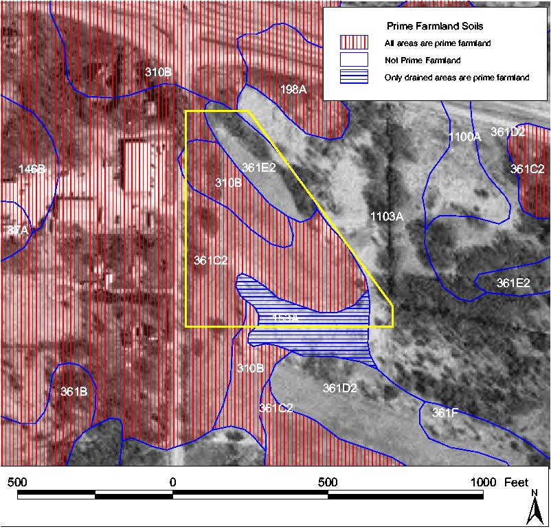
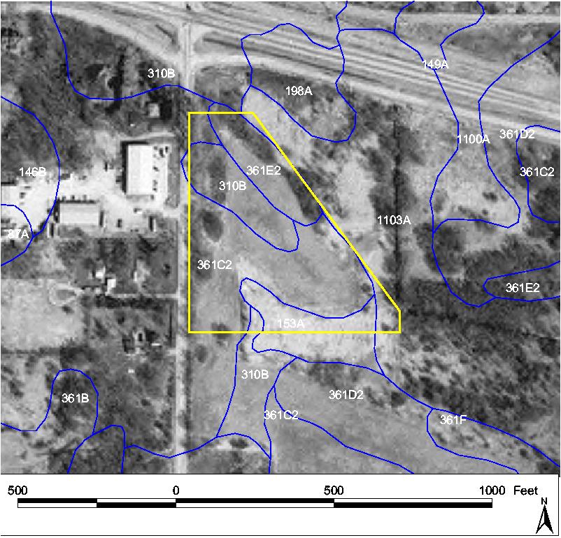
The McHenry-Lake County Soil and Water Conservation
District is pleased to offer a digital map service. For
a number of years the SWCD has helped the general public
with questions about natural resources such as drainage
and soils, floodplains and wetlands, development
potential of land and many other interrelated natural
resource concerns. Previously, much of this information
was only available on paper maps which required a person
to physically come to the office to acquire the
information if they needed it immediately.
To better serve the public, SWCD invested a significant
amount of both staff time and money in creating a
digital mapping program that utilizes up-to-date
information. You are able to fax or mail in your map
request using our “Digital Map Request Form,” and a
parcel/site specific map will be snail mailed or emailed
to you. |